

Children's Illustrated Atlas (Children's Illustrated Atlases)
by Andrew Brooks Publisher: DK Children
Sold out
£99.99
SKU VRT-177912
ISBN
9780241664704
Author
Description
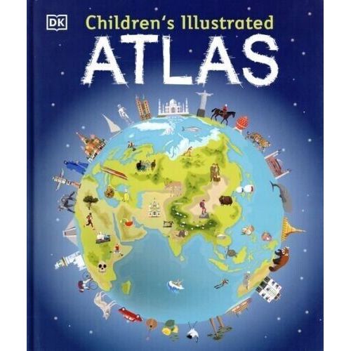
A picture atlas that takes young readers on a visual journey around the world, from Spain and Portugal to China and Mongolia.
Continents and countries are brought to life through stunning photography and eye-catching illustrations. Uncover incredible geographical features, wildlife, culture, history, and landmarks in unprecedented detail.
This incredible and inspiring visual atlas takes you on a fact-filled, continent-by-continent tour of the world! Throughout the pages of this adventure book, you'll discover more than 50 fascinating maps that are packed with fun facts and fresh images. Your child will learn all about the climate, populations, places, and industries of our world.
Picture stories complement the maps, from the giant river that flows through the Amazon forest, to the frozen icebergs of the glacial Arctic. Discover the richness and diversity of human and animal life around the globe. Each map shows the countries, their capitals, famous landmarks, as well as their longest rivers and highest mountains.
This educational book is more than a map book! This atlas book also shows young explorers how to read a map and use a key, compass, and scale. It's the ideal resource for classroom use, home learning, and armchair exploration.
Title
Children's Illustrated Atlas (Children's Illustrated Atlases)
Delivery
Content